
Procedural Map - Size: 2000 Seed: 1943
This map was generated with a previous Rust version and might be outdated by now.
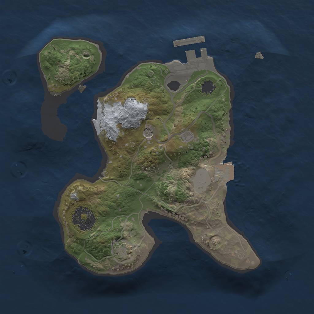


This Procedural Map is a dynamically generated map, with a size of 2,000 and the seed 1943.
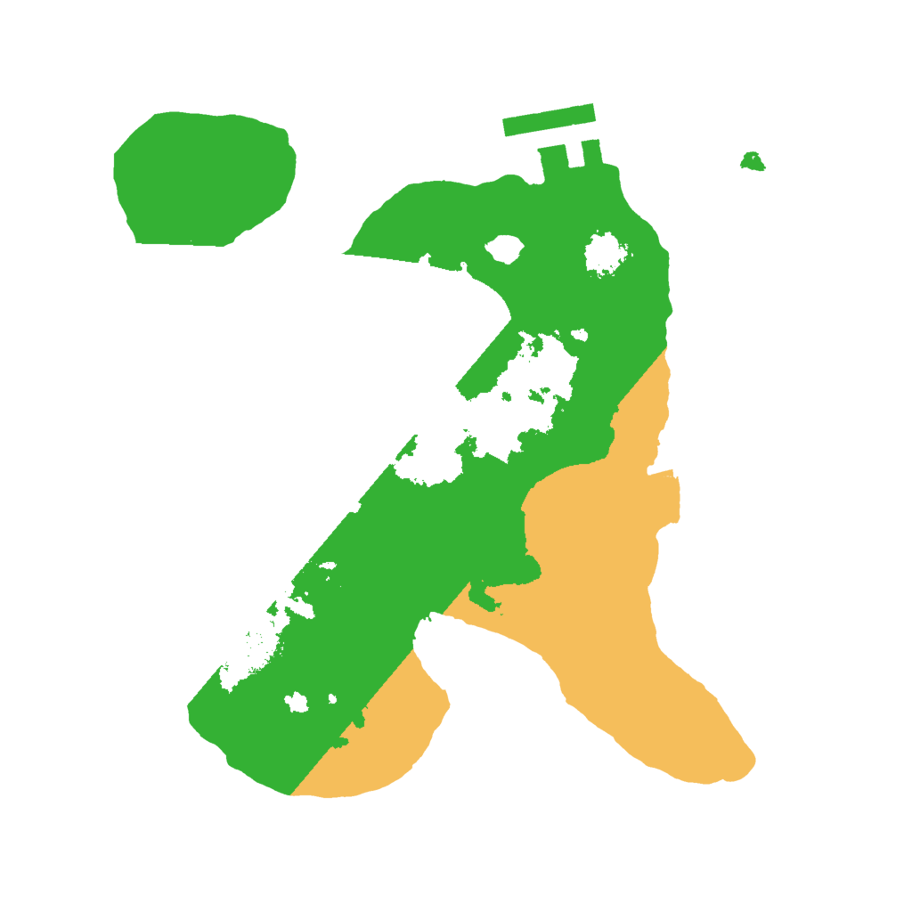
Having 0.6 sq. km, it is a very small island. It is dominated by the temperate biome. There are 48.47% temperate biome, 23.79% arid biome and 27.74% arctic biome.
Only a few main monuments are present on this Rust island. Present monuments are Oil Rig, Underwater Lab, Sphere Tank, Nuclear Missile Silo and Harbor. Two Oil Rigs surround the island. They can be found in the ocean northeast and southwest of the island. There is no Launch Site on the map. Across the island are one Gas Station.
This map is currently not running on any Rust server. Never before, this map was used on a server.
Download Image
Map Information |
|
|---|---|
| Map | Procedural Map |
| Size | 2,000 |
| Seed | 1943 |
| Last generated | over 1 year ago |
| Main Biome | Temperate |
| Islands | 6 |
Monuments |
|
|
Airfield
|
|
|
Arctic Research Base
|
|
|
Bandit Town
|
|
|
Compound
|
|
|
Excavator
|
|
|
Harbor
|
|
|
Junkyard
|
|
|
Launch Site
|
|
|
Military Tunnel
|
|
|
Nuclear Missile Silo
|
|
|
Oil Rig (2)
|
|
|
Powerplant
|
|
|
Satellite Dish
|
|
|
Sphere Tank
|
|
|
Trainyard
|
|
|
Underwater Lab
|
|
|
Water Treatment Plant
|
|
Small Monuments |
|
|
Small Caves (2)
|
|
|
Medium Caves
|
|
|
Large Caves
|
|
|
Fishing Villages (3)
|
|
|
Gas Stations
|
|
|
Radtown Small
|
|
|
Stables
|
|
|
Supermarkets
|
|
|
Lighthouses (2)
|
|
|
Quarries
|
|
|
Swamps (2)
|
|
|
Warehouses
|
|
|
Water Wells
|
|
|
|
|
Stats |
|
| Island Size | 0.6 sq. km |
| Main Monuments | 6 |
| Temperate Biome | 48.47% |
| Arid Biome | 23.79% |
| Arctic Biome | 27.74% |
| Currently used by | 0 servers |
| Ever used on | 0 servers |